Options identification and selection process
In developing our preferred route and site, we have followed National Grid’s Approach to Consenting. Our work is set out in full in our Corridor Preliminary Routeing and Substation Siting study (CPRSS).

Defining the study area
For each section of our route, we defined a study area informed by factors including:
- the connection end points identified in the Strategic Proposal
- the location of large towns and other built-up areas
- the location of physical features such asestuaries, or protected sites like AONBs, National Parks or nature conservation areas.
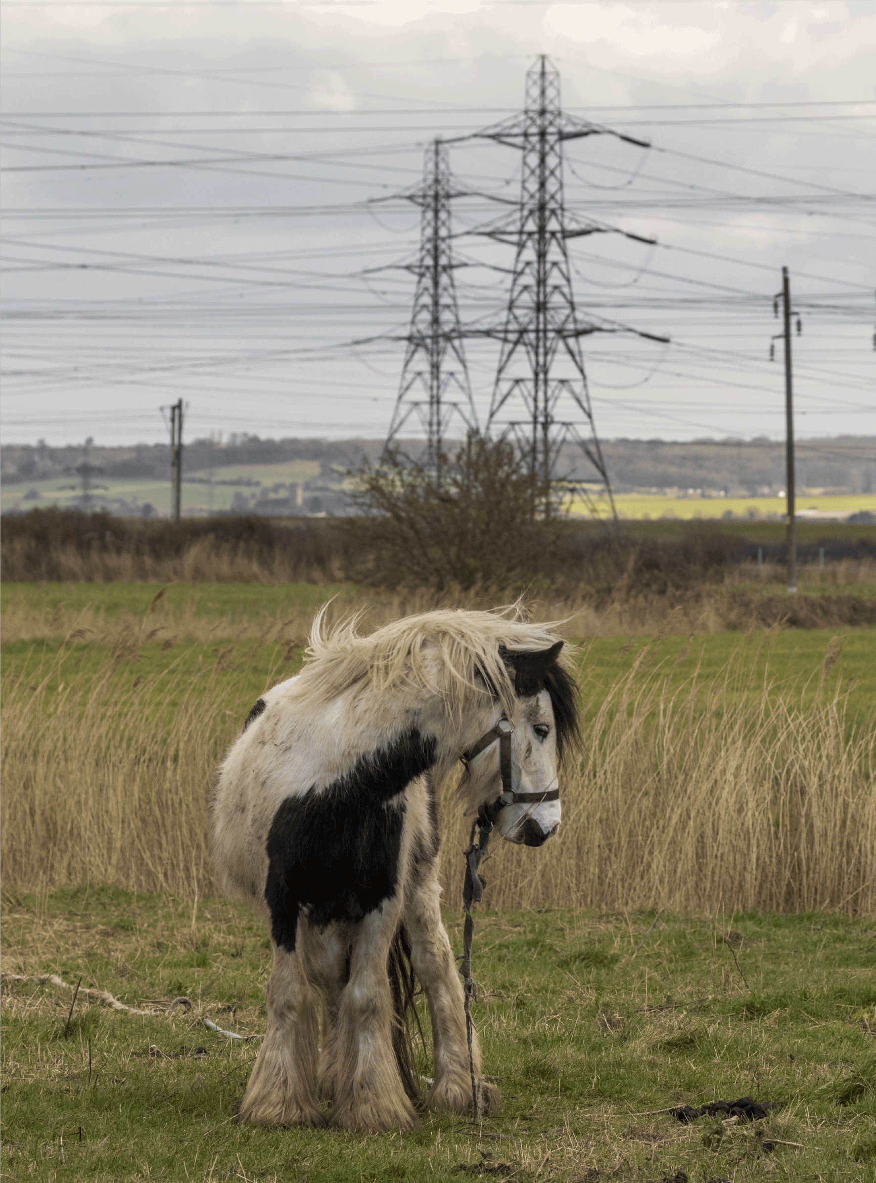
Constraint mapping
We then map out key features in the landscape that we want to avoid or minimise contact with. These have been informed by planning policy and our professional judgement. At this stage, we only consider features that would make a difference to our routeing decisions.These include the built-up areas where people live and other features that may be sensitive in terms of ecology, heritage or landscape, as well as features that may represent planning or technical constraints. The full list is in the CPRSS.
Options identification, appraisal and selection
Considering the constraints and opportunities available, using a combination of computer modelling and expert professional judgement, we devise and refine various routes from one connection end to another. These seek to represent different high-level options for making the connection avoiding the identified constraints, for example, routeing on one side of a town or the other.
We then carry out an appraisal of each option with engineers, environmental experts, town planners and other specialists using their professional judgement to consider the implications of each option. This allows us to compare between options on a consistent basis, on topics which are likely to influence the decision. Through this appraisal we may also identify further options or combinations and do further assessment if needed.
We then consider the relative merits of each option to reach our balanced conclusion on a preferred corridor. The decision is informed by National Grid’s statutory duties, the options appraisal and planning policy – including the Holford and Horlock Rules.
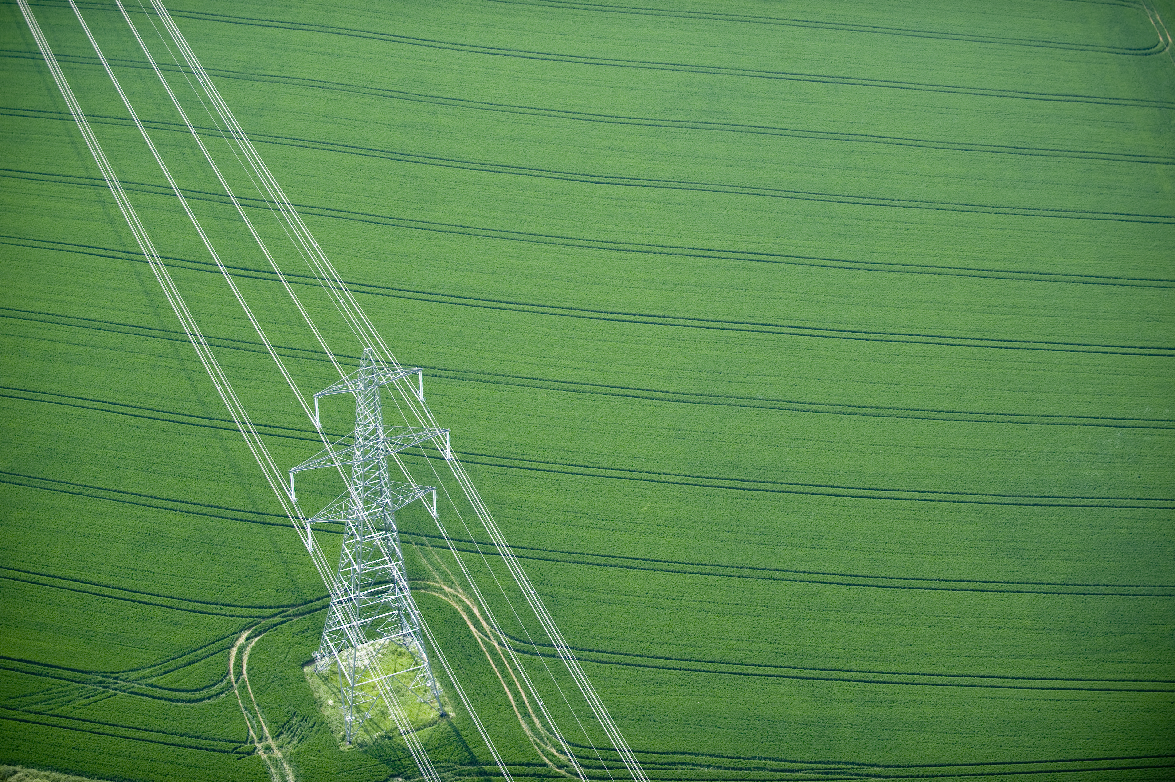
Developing a graduated swathe
Following the selection of a preferred corridor, we produced a graduated swathe which indicates where an alignment could be routed. This shaded area is darker where an alignment is more likely when taking into account the identified constraints but remains indicative only until further assessment work is done. We will consider feedback from public consultation and further information from surveys and stakeholder engagement as we develop a firm proposal for the alignment.
The graduated swathe: The graduated swathe shows the area considered more likely to be developed as a darker colour than areas considered less likely.