

About the project
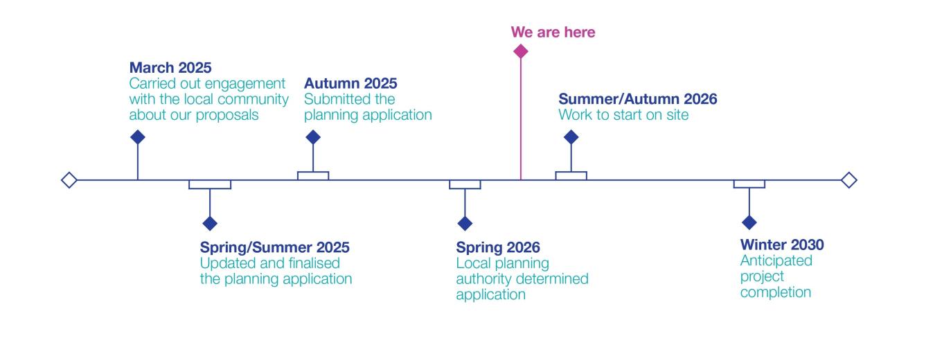
In March 2025, we carried out a programme of community engagement to inform the local community of our proposals to extend the existing substation at Middleton, Heysham. This included engagement with local representatives, an online webinar and an in-person event at Heysham Jubilee Institute. Thank you to everyone who took the time to engage with our team on our proposals.
Following a community consultation with stakeholders and the community, National Grid applied for planning permission to extend Middleton Substation, near Heysham.
Latest update
Lancaster City Council’s Planning Regulatory Committee unanimously approved our application on 11 May 2026. We will share more information about the construction programme, ahead of starting on site. In the meantime, our application can be found on the council’s planning portal here or by searching this reference number: 25/01055/FUL.
Since engaging with the community, and following a review of our plans, we made some changes to our application. These changes were made to reduce the environmental impact of the proposed substation extension. More information on our proposals can be found below.
Project timeline
Our proposals
The way we generate electricity in the UK is changing rapidly, as we transition to more secure, cleaner, home-grown energy from more affordable sources. Several new projects have been brought forward by customers near Middleton, which require a connection to our network. As we’re legally obligated to fulfil any connection requests, we’re extending our existing Middleton substation to help meet demand in the area.
Our final plans include design changes that will reduce the environmental impact of the extended substation by using improved equipment at the substation.
Rather than extending the existing gas insulated switchgear building (GIS), we will be:
- constructing a new standalone GIS building 10 metres (m) to the west of the existing GIS hall, slightly larger than originally proposed (46.2m x 20.2m) and installing new electricity transmission equipment
- making small changes to the redline boundary to accommodate the construction equipment needed to build the GIS hall and a temporary access road
- installing a temporary construction compound
- renewing and extending the existing boundary fence
- creating an extended access road to the western boundary of the site to allow easier access into the site once the temporary access road is removed.
The GIS Hall will be 2.2 m taller than the existing building and would be built using the same material as the existing hall, to minimise its visual impact. Existing landscaping around the site boundary will also continue to provide visual screening.
Contact us
If you have any questions, get in touch with our team by:
- Emailing: [email protected]
- Calling: 0808 303 4641