Using satellites, AI and detailed environmental data, AiDASH helps organisations, including National Grid, see their land in an entirely new way, so we can make smarter decisions about biodiversity, habitat restoration and sustainability.
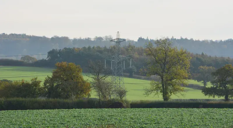
Think of any piece of land and, whether it’s countryside, greenbelt or a small patch of grass and trees in a built-up area, there’s something valuable present: biodiversity.
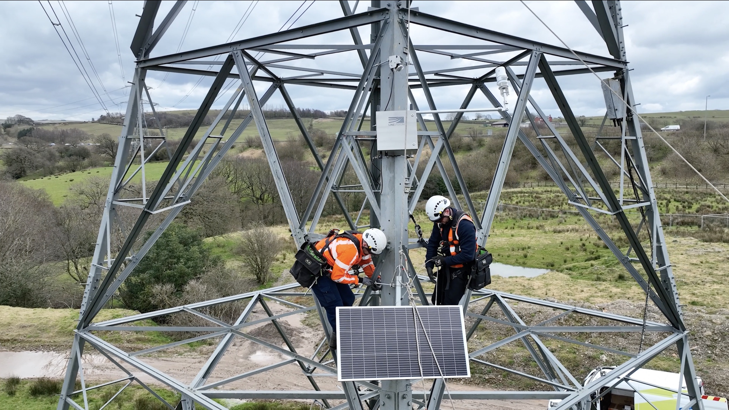
For organisations, understanding what’s happening on the ground near their sites matters. For us, that might be assessing wildlife habitats or vegetation at a stretch of trees bordering a substation, a corridor of land beneath power lines or the greener area around one of our offices.
The challenge of doing so is that traditional ecological surveys can take months, or even years, to complete across large estates. This is where AiDASH’s new generation technology can help.
What is biodiversity net gain?
Biodiversity net gain (BNG) is now a major part of the environmental landscape, requiring many organisations, particularly where land is being developed, to aim to leave nature in a measurably better state than before they took on a site.
In practical terms, that means understanding what habitats already exist, what ecological value they hold, and how those habitats can be protected, enhanced or restored.
What is AiDASH?
Set up in 2019, AiDASH, a company National Grid Partners has invested in since 2020, combines satellite imagery with artificial intelligence to improve the way its clients can manage infrastructure, land and environmental performance.
It’s especially well-suited to utilities, such as energy and water companies, which often manage thousands of hectares of land spread across wide geographic areas. Monitoring all of that manually can be expensive, time-consuming and difficult to repeat consistently.
AiDASH’s answer is a digital platform that can analyse land remotely, classify habitats and track environmental changes over time.
Bringing new perspectives to biodiversity net gain
One of AiDASH’s most valuable applications is for assessing biodiversity net gain. they have developed a specialist platform called BNGAI™, designed to help landowners, developers, utilities and environmental teams plan, measure and monitor biodiversity improvements.
How can AiDASH help us protect and support biodiversity?
Imagine being able to assess thousands of hectares of land without sending teams into every field, woodland or verge… In fact, in some areas at National Grid, we have to survey sites that aren’t easily accessible on foot or road.
AiDASH is a practical solution to this.
The platform takes high-resolution satellite imagery, which captures detailed pictures of land from space. It then uses artificial intelligence to analyse these images, identifying habitat types such as grassland, woodland, scrub, wetland or agricultural land.
It moves things a step further than simply producing a map; by combining satellite data with ecological models, historical records and on-site verification where needed, the system can help us to:
- build a biodiversity baseline across large areas
- identify habitats with high ecological value
- spot changes over time, such as habitat degradation or improvement
- prioritise restoration opportunities
- support biodiversity net gain reporting and compliance
- create repeatable, evidence-based environmental plans.
For organisations like ours which are managing large land portfolios, that can dramatically reduce the time needed to understand environmental conditions.
AiDASH’s biodiversity platform can assess our sites in days when previously it might have taken many weeks, helping replace repeated manual surveys with a more consistent, transparent approach.
What are the benefits of using AiDASH at National Grid?
Technology alone does not create healthier ecosystems. But better information can lead to better decisions and that’s how AiDASH adds value.
Its benefits include:
Faster biodiversity assessment
Traditional habitat surveys are invaluable, but across large estates they can take significant time and resources to carry out. Satellite-led mapping helps teams build an initial environmental picture far more quickly.
Better biodiversity net gain planning
When organisations can clearly see habitat types, condition and connectivity, they can make more informed choices about where to restore grasslands, improve woodland edges, create pollinator corridors or protect sensitive habitats.
More consistent reporting with an ‘audit trail’
Environmental reporting increasingly demands evidence. Satellite-based monitoring creates repeatable datasets, helping track changes year-after-year and supporting transparent reporting.
Smarter use of ecological expertise
Rather than spending valuable time mapping every site manually, ecologists can focus on interpretation, field validation and designing practical habitat improvements.
Cost-effective long-term land stewardship
Perhaps most importantly, this technology encourages organisations to see land not simply as operational space, but as living natural capital. AiDASH has said its platform can reduce some sustainability-related operational costs by as much as 75% while speeding up assessment across entire estates.
Looking ahead: continuous nature intelligence
Biodiversity net gain is only the beginning. As satellite imagery becomes sharper, machine learning becomes more sophisticated, and environmental data becomes richer, AiDASH could help organisations move beyond one-off surveys toward something much more dynamic: continuous nature intelligence.
For companies like ours, whose assets stretch across urban areas, countryside and coastlines, AiDASH brings real improvements in the way we can manage assessing BNG, helping us protect landscapes for the present and the future.