Beyond the Horizon: How Drones Are Revolutionising National Grid’s Inspections
At National Grid, we’re shaping the future of energy by embracing innovation that makes our network safer, smarter, and more sustainable. One of the most exciting advances in this journey is our drone capability – a technology that’s transforming how we inspect and maintain the electricity transmission network across England and Wales.
Why drones matter
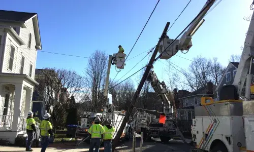
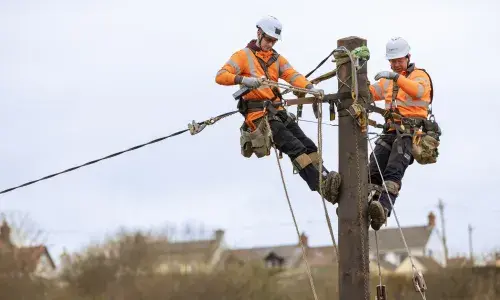
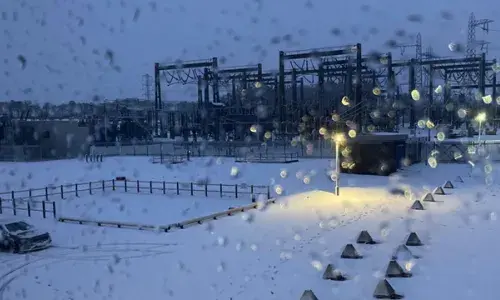
Our network spans thousands of kilometres of overhead lines and hundreds of substations. Keeping this infrastructure in top condition is critical – but traditional inspection methods can be time-consuming, costly, and sometimes hazardous.
That’s where drones play a key role. By taking on routine inspection tasks, drones reduce the need for scaffolding, cherry pickers, and manual climbs, while also freeing up our helicopter fleet and highly skilled lineworkers for the complex jobs that truly need human expertise. The result? Faster, safer, and more efficient inspections that keep the power flowing without unnecessary disruption.

Two Capabilities, One Vision
We’ve built a drone capability that combines flexibility with cutting-edge automation at scale:
- Visual Line of Sight (VLOS)
Our pilots use drones for targeted inspections of towers, conductors, and substation equipment. This approach is ideal for rapid response and detailed visual checks. - Automated Beyond Visual Line of Sight (BVLOS)
In a UK-first, we’ve launched a centralised, autonomous aerial inspection system in partnership with sees.ai. From a remote-control centre, drones can now fly beyond the pilot’s line of sight, close to live infrastructure, capturing high-resolution data across long stretches of the network.
This isn’t just an upgrade – it’s a step change. BVLOS operations deliver AI-optimised inspection data, expand our capacity, and reduce risk. It’s the culmination of a four-year innovation programme and positions National Grid as a global leader in digital grid operations.
What Our Drones Can Do
Our fleet is built for versatility and precision. Key capabilities include:
- High-resolution imaging for detailed condition assessments.
- Thermal sensors to detect hotspots and prevent faults before they happen.
- LiDAR and photogrammetry for creating 3D models and digital twins – essential for planning major projects delivering The Great Grid Upgrade.
- Confined-space inspection technology for safe surveys in challenging environments such as tunnels and indoor substations.
These tools allow us to capture more data, more accurately, and more safely than ever before.
The Benefits Are Clear
- Safety first: Engineers climb to do, not to view, reducing their time working at height and using their expertise to help upgrade our network for the future.
- Efficiency at scale: Faster data capture and processing means smarter maintenance planning.
- Lower carbon footprint: Redeployment of helicopters and heavy access equipment reduces emissions.
- Smarter insights: AI and machine learning turn raw data into actionable intelligence, enabling predictive maintenance to enhance network resilience.
Looking Ahead
We’re working closely with the Civil Aviation Authority to expand BVLOS operations safely and responsibly. As regulations evolve and technology advances, our vision is clear: a fully integrated drone capability that supports the energy transition and keeps the network resilient for decades to come.
National Grid is proud to lead the way – setting a global benchmark for how drones can transform critical infrastructure management.