




Working with landowners, occupiers and other affected parties
We're committed to maintaining successful working relationships with landowners and occupiers and we want to work closely with you as we continue to develop our proposals for this essential electricity network reinforcement.
We will keep you updated as the project progresses, and we encourage you (or your representatives) to liaise with us if you have any questions.
Surveys
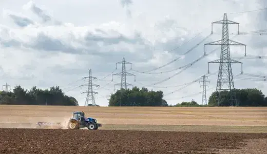
We're continuing to carry out a range of surveys along the proposed route as we develop our detailed design to build the project. These include traffic, transport, and public rights of way surveys. You may see radar and data traffic counting equipment, or members of our team collecting information. We don't use these surveys to collect any personal data.
Some ecological and environmental surveys can only be carried out at specific times of the year. For example, wintering bird surveys are usually carried out between November to February, when surveyors can record the types and numbers of birds which migrate over this season.
Click here to read more about the types of surveys we're completing on Norwich to Tilbury.
We are currently undertaking the following surveys:
| Survey type | Survey locations planned within a month (Parish) |
| Ground investigation | Route wide |
| Arboricultural | Broomfield; Chignall; Great and Little Leighs; Great Waltham; Little Waltham; Roxwell; Writtle, Boxted; Great Horkesley |
| Bat dusk emergence | Aldham; Ardleigh; Barking; Battisford; Billericay; Bramford; Brentwood, unparished area; Bressingham; Broomfield; Bunwell; Burgate; Burstall; Carleton Rode; Chattisham; Chignall; Colchester, unparished area; Copdock and Washbrook; Creeting St. Mary; Creeting St. Peter or West Creeting; Dedham; Earl Stonham; East Bergholt; Fairstead; Faulkbourne; Finningham; Fordham; Gislingham; Great and Little Leighs; Great Waltham; Herongate and Ingrave; Higham; Highwood; Holton St. Mary; Kelvedon; Langham; Little Burstead; Little Waltham; Margaretting; Mellis; Mountnessing; Mulbarton; Offton; Raydon; Rivenhall; Roxwell; Roydon; Silver End; Somersham; Sproughton; Stowupland; Stratford St. Mary; Swainsthorpe; Terling; Thornham Magna; Thurrock, unparished area; Tibenham; Wenham Magna; Wenham Parva; West Bergholt; White Notley; Wickham Skeith; Witham; Writtle |
| Bat tree inspection | Aldham; Ardleigh; Basildon, unparished area; Billericay; Boxted; Bramford; Brentwood, unparished area; Broomfield; Burstall; Chattisham; Chignall; Coggeshall; Colchester, unparished area; Copdock and Washbrook; Dedham; Eight Ash Green; Feering; Fordham; Great and Little Leighs; Great Horkesley; Great Tey; Great Waltham; Herongate and Ingrave; Hintlesham; Holton St. Mary; Ingatestone and Fryerning; Langham; Lawford; Little Bromley; Little Burstead; Little Horkesley; Little Waltham; Marks Tey; Mountnessing; Mulbarton; Raydon; Rivenhall; Silver End; Sproughton; Stock; Stoke Holy Cross; Stratford St. Mary; Swainsthorpe; Swardeston; Thurrock, unparished area; Wenham Magna; Wenham Parva; West Bergholt; West Horndon; Wormingford |
| Dormouse | Aldham; Billericay; Brentwood, unparished area; Capel St. Mary; Copdock and Washbrook; Cressing; Faulkbourne; Great Tey; Herongate and Ingrave; Ingatestone and Fryerning; Little Burstead; Margaretting; Marks Tey; Raydon; Wenham Magna; Wenham Parva; White Notley; Witham |
| Ecology Walkover | Aldham; Ardleigh; Ashwellthorpe and Fundenhall; Barking; Basildon, unparished area; Battisford; Bramford; Brentwood, unparished area; Burgate; Chignall; Coggeshall; Cotton; Cressing; Eight Ash Green; Fairstead; Faulkbourne; Feering; Fordham; Great Tey; Herongate and Ingrave; Ingatestone and Fryerning; Kelvedon; Little Bentley; Margaretting; Marks Tey; Mendlesham; Mountnessing; Rivenhall; Silver End; Somersham; Stock; Terling; Tharston and Hapton; Thurrock, unparished area; Wenham Magna; Wenham Parva; West Bergholt; West Horndon; White Notley; Wickham Skeith; Witham |
| Mobile mapping | Aldham; Ardleigh; Badley; Barking; Basildon, unparished area; Battisford; Billericay; Bracon Ash; Bramford; Brentwood, unparished area; Broomfield; Bunwell; Burgate; Burstall; Chattisham; Chignall; Coggeshall; Copdock and Washbrook; Cotton; Creeting St. Mary; Creeting St. Peter or West Creeting; Dedham; Fairstead; Feering; Flordon; Forncett; Great and Little Leighs; Great Horkesley; Great Tey; Herongate and Ingrave; Heywood; Hintlesham; Holton St. Mary; Ingatestone and Fryerning; Kelvedon; Langham; Little Burstead; Little Waltham; Margaretting; Marks Tey; Mellis; Mountnessing; Mulbarton; Needham Market; Raydon; Ringshall; Rivenhall; Roxwell; Roydon; Silver End; Somersham; Sproughton; Stock; Stoke Holy Cross; Stowmarket; Swainsthorpe; Swardeston; Terling; Thurrock, unparished area; Wenham Magna; Wenham Parva; West Horndon; White Notley; Wortham; Writtle |
| Otter and water vole | Ashwellthorpe and Fundenhall; Aslacton; Bracon Ash; Bressingham; Bunwell; Burgate; Carleton Rode; Cotton; Finningham; Flordon; Forncett; Gislingham; Heywood; Mellis; Mulbarton; Newton Flotman; Palgrave; Roxwell; Roydon; Shelfanger; Swainsthorpe; Tacolneston; Tharston and Hapton; Thornham Magna; Thrandeston; Tibenham; Wickham Skeith; Winfarthing; Wortham; Wreningham; Writtle |
Frequently asked questions
For further information about Norwich to Tilbury, please visit our FAQs page.
This includes further information on National Grid’s approach to engaging with landowners and those with an interest in land.
Best practice guides
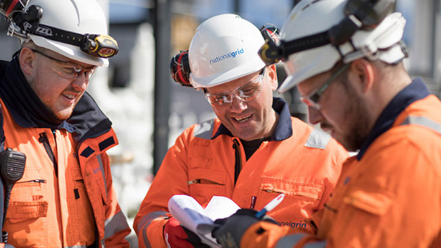
Construction best practice for overhead line installation
Construction best practice for overhead line installation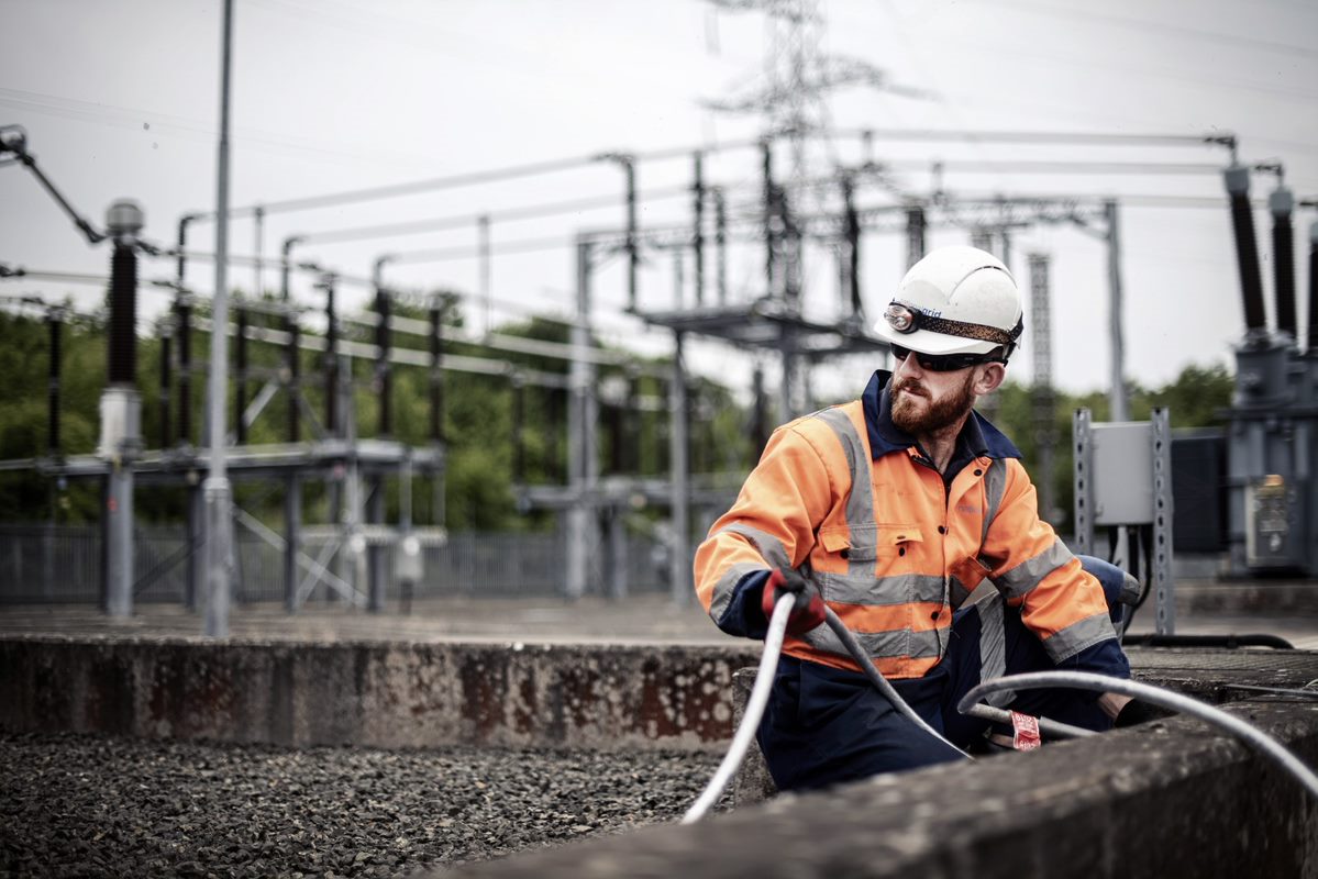
Construction best practice for underground cable installation
Construction best practice for underground cable installationDocument library
Further information and supporting guides can be found in our document library.